Christchurch City Map New Zealand
A Christchurch City map showing the street map layout of Christchurch in New Zealand, main roads and highways, suburbs, peninsula, coastline, harbour and surrounding area is provided below.
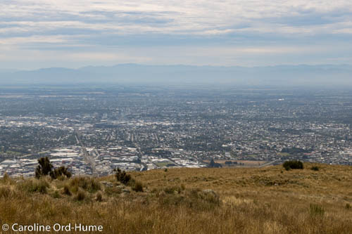
Hazy View of Christchurch with Southern Alps in Background, from Mount Pleasant Scenic Reserve

The map marks places of interest such as shopping, parks, botanic gardens, the Avon River, the coast line and estuary, and the route through the tunnel to Lyttelton Port.
Zoom out of the map to see where Christchurch is in relation to the region of Canterbury, the South Island, and whole of New Zealand.
Christchurch New Zealand - Canterbury