- Home ›
- NZ Cities ›
- Dunedin New Zealand ›
- Dunedin City Map
Dunedin City Map New Zealand
This Dunedin City map shows the streets and roads in the centre and around the City of Dunedin, the suburbs, and where Dunedin is located on the coast in the region of Otago, New Zealand.
The map below navigates the main highways and roads, gets you through the suburbs, into the central Dunedin City, out to the Peninsula, along the coast, harbour, and out into the surrounding area.
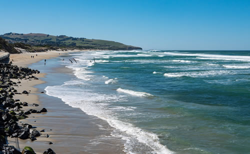
Dunedin Beach New Zealand

Image © Tonia Kraakman
Places of interest are marked on the map. For example; parks, shops, botanic gardens, the coast line and beaches, other towns and settlements, and the routes to choose your onward journey.
Map of Dunedin City New Zealand
Zoom out of the map to see where Dunedin is in the region of Otago, the South Island east coast, and to explore the whole of New Zealand.
New 2023: A cycleway of 10km length following the SH88 route from Dunedin to Port Chalmers. Download Dunedin Cycle Routes